Last Updated:
2026-Q1
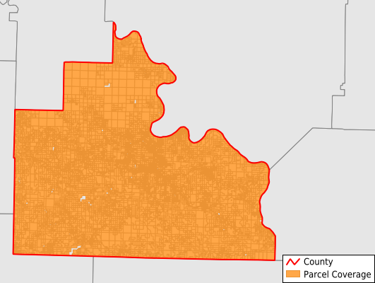
Parcels in County:
15,412
Parcel data available to download as a GDB, GeoPackage, Shapefile, Excel, CSV, or Google Earth KML file.
All purchased data comes with six months of access, including any updates, at no additional cost.
Key attribute coverage for Stone County
The percentage of Stone County parcels containing the following key attributes:
Owner: 100%
Parcel Number: 100%
Acreage (Calculated): 100%
Site Address: 50%
Mailing Address: 96.6%
All available attributes in Stone County
Parcel Number
Site Address
Owner
Building Size
Neighborhood Code
Land Use Code
Land Use Class
Acreage (calculated)
Perimeter
Municipality
School District
Zip Code
Census Tract
Census Block Group
Census Block
Total Market Value
Land Market Value
Building Market Value
Mail Address1
Mail Address3
Legal Desc1
Year Built
Total Bath
Addr Sec Unit Num
Place Gnis Code
Land Cover
Elevation
Owner Occupied
Robust Id
Usps Residential
Plss Description
Plss Township
Plss Range
Plss Section
Crop Cover
Acreage Adjacent With Sameowner
Nearest Transmission Line Dist Ft
Nearest Substation Dist Ft
Derived Geom Properties
Robust Id Source
Municipalities Respresented in Stone County
Blue Mountain Township: 3,341
Bryan Township: 410
Farris Township: 433
Flag Township: 241
Franklin Township: 528
Harris Township: 1,796
Jones Township: 127
Liberty Township: 498
Locust Grove Township: 320
Northwest Township: 686
Red River Township: 340
Red Stripe Township: 342
Richwoods Township: 615
Roasting Ear Township: 243
Smart Township: 314
Sylamore Township: 767
Timbo Township: 314
Turkey Creek Township: 547
Union Township: 788
Washington Township: 497
Wilson Township: 247
Arbana Township: 1,058
Marcella Township: 393
Optimus Township: 566
Save money when you buy data in bulk
We offer discounted pricing on county and state downloads.