Last Updated:
2026-Q1
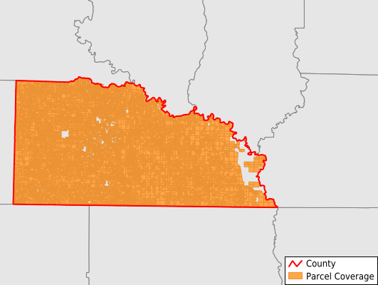
Parcels in County:
31,236
Parcel data available to download as a GDB, GeoPackage, Shapefile, Excel, CSV, or Google Earth KML file.
All purchased data comes with six months of access, including any updates, at no additional cost.
Key attribute coverage for Union County
The percentage of Union County parcels containing the following key attributes:
Owner: 100%
Parcel Number: 100%
Acreage (Calculated): 100%
Site Address: 52%
Mailing Address: 99.1%
All available attributes in Union County
Parcel Number
Site Address
Owner
Building Size
Neighborhood Code
Land Use Code
Land Use Class
Acreage (calculated)
Perimeter
Municipality
School District
Zip Code
Flood Zone
Flood Zone Subtype
Census Tract
Census Block Group
Census Block
Total Market Value
Land Market Value
Building Market Value
Mail Name
Mail Address1
Mail Address3
Legal Desc1
Year Built
Total Bath
Addr Sec Unit Num
Place Gnis Code
Land Cover
Elevation
Owner Occupied
Robust Id
Usps Residential
Plss Description
Plss Township
Plss Range
Plss Section
Crop Cover
Acreage Adjacent With Sameowner
Flood Zones
Nearest Transmission Line Dist Ft
Nearest Substation Dist Ft
Derived Geom Properties
Robust Id Source
Municipalities Respresented in Union County
Boone Township: 667
Cornie Township: 837
El Dorado Township: 12,904
Franklin Township: 2,012
Garner Township: 691
Harrison Township: 1,045
Henderson Township: 766
Jackson Township: 1,160
Johnson Township: 1,976
Lapile Township: 3,324
Norphlet Township: 1,144
Smackover Township: 1,501
Tubal Township: 547
Van Buren Township: 1,257
Wesson Township: 406
Wilmington Township: 998
Save money when you buy data in bulk
We offer discounted pricing on county and state downloads.