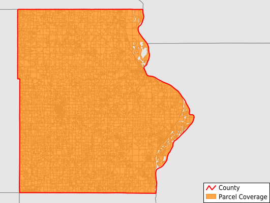
Allamakee County
Parcel Data
Price: $250.00
Last Updated:
2025-Q4
Parcels in County:
13,944
Parcel data available to download as a GDB, GeoPackage, Shapefile, Excel, CSV, or Google Earth KML file.
All purchased data comes with six months of access, including any updates, at no additional cost.
Key attribute coverage for Allamakee County
The percentage of Allamakee County parcels containing the following key attributes:
Owner: 97.8%
Parcel Number: 100%
Acreage (Calculated): 100%
Site Address: 73.8%
Mailing Address: 99.1%
All available attributes in Allamakee County
Parcel Number
Site Address
Owner
Land Use Code
Land Use Class
Acreage (deeded)
Acreage (calculated)
Perimeter
Municipality
School District
Zip Code
Flood Zone
Flood Zone Subtype
Census Tract
Census Block Group
Census Block
Mail Name
Mail Address1
Mail Address3
Legal Desc1
Addr Sec Unit Num
Place Gnis Code
Land Cover
Elevation
Owner Occupied
Robust Id
Usps Residential
Alt Id 1
Plss Description
Plss Township
Plss Range
Plss Section
Crop Cover
Acreage Adjacent With Sameowner
Flood Zones
Nearest Transmission Line Dist Ft
Nearest Substation Dist Ft
Derived Geom Properties
Municipalities Respresented in Allamakee County
Center Township: 487
Fairview Township: 357
Franklin Township: 565
French Creek Township: 382
Hanover Township: 377
Iowa Township: 709
Jefferson Township: 627
Lafayette Township: 696
Lansing Township: 1,614
Linton Township: 454
Ludlow Township: 544
Makee Township: 2,405
Paint Creek Township: 609
Post Township: 1,247
Taylor Township: 1,460
Union City Township: 346
Union Prairie Township: 649
Waterloo Township: 415
Save money when you buy data in bulk
We offer discounted pricing on county and state downloads.