Last Updated:
2025-Q4
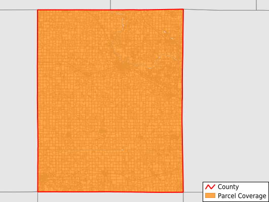
Parcels in County:
18,198
Parcel data available to download as a GDB, GeoPackage, Shapefile, Excel, CSV, or Google Earth KML file.
All purchased data comes with six months of access, including any updates, at no additional cost.
Key attribute coverage for Benton County
The percentage of Benton County parcels containing the following key attributes:
Owner: 99.4%
Parcel Number: 99.9%
Acreage (Calculated): 100%
Site Address: 69.4%
Mailing Address: 98.8%
All available attributes in Benton County
Parcel Number
Site Address
Owner
Land Use Code
Land Use Class
Acreage (deeded)
Acreage (calculated)
Perimeter
Municipality
School District
Zip Code
Flood Zone
Flood Zone Subtype
Census Tract
Census Block Group
Census Block
Mail Address1
Mail Address3
Legal Desc1
Addr Sec Unit Num
Place Gnis Code
Land Cover
Elevation
Owner Occupied
Robust Id
Usps Residential
Plss Description
Plss Township
Plss Range
Plss Section
Crop Cover
Acreage Adjacent With Sameowner
Flood Zones
Nearest Transmission Line Dist Ft
Nearest Substation Dist Ft
Derived Geom Properties
Robust Id Source
Municipalities Respresented in Benton County
Belle Plaine City: 1,459
Benton Township: 773
Big Grove Township: 307
Bruce Township: 381
Canton Township: 596
Cedar Township: 767
Eden Township: 332
Eldorado Township: 794
Florence Township: 1,149
Fremont Township: 1,373
Harrison Township: 391
Homer Township: 334
Iowa Township: 518
Jackson Township: 619
Kane Township: 702
Leroy Township: 919
Monroe Township: 327
Polk Township: 1,478
St. Clair Township: 411
Shellsburg City: 545
Taylor Township: 823
Union Township: 723
Vinton City: 2,476
Save money when you buy data in bulk
We offer discounted pricing on county and state downloads.