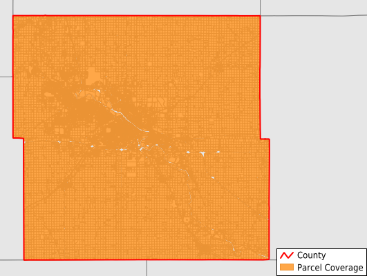
Black Hawk County
Parcel Data
Price: $250.00
Last Updated:
2026-Q3
Parcels in County:
76,224
Parcel data available to download as a GDB, GeoPackage, Shapefile, Excel, CSV, or Google Earth KML file.
All purchased data comes with six months of access, including any updates, at no additional cost.
Key attribute coverage for Black Hawk County
The percentage of Black Hawk County parcels containing the following key attributes:
Owner: 98.6%
Parcel Number: 100%
Acreage (Calculated): 100%
Site Address: 71.2%
Mailing Address: 98.6%
All available attributes in Black Hawk County
Parcel Number
Site Address
Owner
Land Use Code
Land Use Class
Acreage (calculated)
Perimeter
Municipality
School District
Zip Code
Flood Zone
Flood Zone Subtype
Census Tract
Census Block Group
Census Block
Total Market Value
Land Market Value
Building Market Value
Mail Name
Mail Address1
Mail Address2
Mail Address3
Legal Desc1
Addr Sec Unit Num
Place Gnis Code
Land Cover
Elevation
Owner Occupied
Robust Id
Usps Residential
Plss Description
Plss Township
Plss Range
Plss Section
Crop Cover
Acreage Adjacent With Sameowner
Flood Zones
Nearest Transmission Line Dist Ft
Nearest Substation Dist Ft
Derived Geom Properties
Robust Id Source
Geom Id
Duplicate Geom Seq
Duplicate Geom Ct
Municipalities Respresented in Black Hawk County
Barclay Township: 840
Bennington Township: 844
Big Creek Township: 1,938
Black Hawk Township: 2,207
Cedar Township: 1,477
Cedar Falls Township: 531
Eagle Township: 856
East Waterloo Township: 858
Fox Township: 933
Lester Township: 1,536
Lincoln Township: 863
Mount Vernon Township: 1,022
Orange Township: 463
Poyner Township: 2,321
Spring Creek Township: 834
Union Township: 831
Washington Township: 746
Waterloo City: 36,550
Evansdale City: 2,616
Cedar Falls City: 17,958
Save money when you buy data in bulk
We offer discounted pricing on county and state downloads.