Last Updated:
2026-Q2
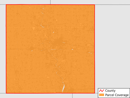
Parcels in County:
24,434
Parcel data available to download as a GDB, GeoPackage, Shapefile, Excel, CSV, or Google Earth KML file.
All purchased data comes with six months of access, including any updates, at no additional cost.
Key attribute coverage for Boone County
The percentage of Boone County parcels containing the following key attributes:
Owner: 100%
Parcel Number: 100%
Acreage (Calculated): 100%
Site Address: 51.3%
Mailing Address: 99.4%
All available attributes in Boone County
Parcel Number
Site Address
Owner
Land Use Code
Land Use Class
Zoning
Acreage (calculated)
Perimeter
Municipality
School District
Zip Code
Flood Zone
Flood Zone Subtype
Census Tract
Census Block Group
Census Block
Mail Address1
Mail Address3
Legal Desc1
Addr Sec Unit Num
Place Gnis Code
Land Cover
Elevation
Owner Occupied
Robust Id
Usps Residential
Alt Id 1
Plss Description
Plss Township
Plss Range
Plss Section
Crop Cover
Acreage Adjacent With Sameowner
Flood Zones
Nearest Transmission Line Dist Ft
Nearest Substation Dist Ft
Derived Geom Properties
Robust Id Source
Municipalities Respresented in Boone County
Amaqua Township: 776
Beaver Township: 697
Cass Township: 530
Colfax Township: 958
Des Moines Township: 7,634
Dodge Township: 1,302
Douglas Township: 1,730
Garden Township: 1,152
Grant Township: 908
Harrison Township: 794
Jackson Township: 1,133
Marcy Township: 1,500
Peoples Township: 739
Pilot Mound Township: 713
Union Township: 955
Worth Township: 1,047
Yell Township: 1,863
Save money when you buy data in bulk
We offer discounted pricing on county and state downloads.