Last Updated:
2025-Q3
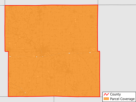
Parcels in County:
21,540
Parcel data available to download as a GDB, GeoPackage, Shapefile, Excel, CSV, or Google Earth KML file.
All purchased data comes with six months of access, including any updates, at no additional cost.
Key attribute coverage for Buchanan County
The percentage of Buchanan County parcels containing the following key attributes:
Owner: 99.2%
Parcel Number: 99.2%
Acreage (Calculated): 100%
Site Address: 45.4%
Mailing Address: 98%
All available attributes in Buchanan County
Parcel Number
Site Address
Owner
Land Use Code
Land Use Class
Acreage (deeded)
Acreage (calculated)
Perimeter
Municipality
School District
Zip Code
Flood Zone
Flood Zone Subtype
Census Tract
Census Block Group
Census Block
Mail Address1
Mail Address2
Mail Address3
Place Gnis Code
Land Cover
Elevation
Owner Occupied
Robust Id
Usps Residential
Plss Description
Plss Township
Plss Range
Plss Section
Crop Cover
Acreage Adjacent With Sameowner
Flood Zones
Nearest Transmission Line Dist Ft
Nearest Substation Dist Ft
Derived Geom Properties
Robust Id Source
Municipalities Respresented in Buchanan County
Buffalo Township: 974
Byron Township: 1,246
Cono Township: 845
Fairbank Township: 1,502
Fremont Township: 724
Hazleton Township: 1,495
Homer Township: 984
Jefferson Township: 1,166
Liberty Township: 1,599
Madison Township: 1,110
Middlefield Township: 774
Newton Township: 794
Perry Township: 2,177
Sumner Township: 2,322
Washington Township: 2,969
Westburg Township: 859
Save money when you buy data in bulk
We offer discounted pricing on county and state downloads.