Last Updated:
2026-Q2
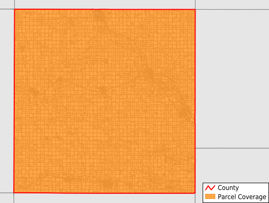
Parcels in County:
14,020
Parcel data available to download as a GDB, GeoPackage, Shapefile, Excel, CSV, or Google Earth KML file.
All purchased data comes with six months of access, including any updates, at no additional cost.
Key attribute coverage for Butler County
The percentage of Butler County parcels containing the following key attributes:
Owner: 99.9%
Parcel Number: 100%
Acreage (Calculated): 100%
Site Address: 55.3%
Mailing Address: 99.8%
All available attributes in Butler County
Parcel Number
Site Address
Owner
Land Use Code
Land Use Class
Acreage (deeded)
Acreage (calculated)
Perimeter
Municipality
School District
Zip Code
Flood Zone
Flood Zone Subtype
Census Tract
Census Block Group
Census Block
Mail Address1
Mail Address2
Mail Address3
Legal Desc1
Place Gnis Code
Land Cover
Elevation
Owner Occupied
Robust Id
Usps Residential
Alt Id 1
Plss Description
Plss Township
Plss Range
Plss Section
Crop Cover
Acreage Adjacent With Sameowner
Flood Zones
Nearest Transmission Line Dist Ft
Nearest Substation Dist Ft
Derived Geom Properties
Robust Id Source
Municipalities Respresented in Butler County
Albion Township: 1,577
Beaver Township: 1,171
Bennezette Township: 483
Butler Township: 1,274
Coldwater Township: 1,369
Dayton Township: 469
Fremont Township: 413
Jackson Township: 718
Jefferson Township: 469
Madison Township: 497
Monroe Township: 1,172
Pittsford Township: 955
Ripley Township: 443
Shell Rock Township: 1,312
Washington Township: 487
West Point Township: 1,211
Save money when you buy data in bulk
We offer discounted pricing on county and state downloads.