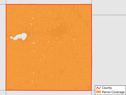
Cerro Gordo County
Parcel Data
Price: $250.00
Last Updated:
2026-Q2
Parcels in County:
33,240
Parcel data available to download as a GDB, GeoPackage, Shapefile, Excel, CSV, or Google Earth KML file.
All purchased data comes with six months of access, including any updates, at no additional cost.
Key attribute coverage for Cerro Gordo County
The percentage of Cerro Gordo County parcels containing the following key attributes:
Owner: 98.6%
Parcel Number: 100%
Acreage (Calculated): 100%
Site Address: 65%
Mailing Address: 98.6%
All available attributes in Cerro Gordo County
Parcel Number
Site Address
Owner
Acreage (deeded)
Acreage (calculated)
Perimeter
Municipality
School District
Zip Code
Flood Zone
Flood Zone Subtype
Census Tract
Census Block Group
Census Block
Mail Name
Mail Address1
Mail Address2
Mail Address3
Legal Desc1
Addr Sec Unit Num
Place Gnis Code
Land Cover
Elevation
Owner Occupied
Robust Id
Usps Residential
Alt Id 1
Plss Description
Plss Township
Plss Range
Plss Section
Crop Cover
Acreage Adjacent With Sameowner
Flood Zones
Nearest Transmission Line Dist Ft
Nearest Substation Dist Ft
Derived Geom Properties
Robust Id Source
Municipalities Respresented in Cerro Gordo County
Bath Township: 762
Clear Lake City: 4,536
Clear Lake Township: 2,085
Dougherty Township: 843
Falls Township: 1,285
Geneseo Township: 1,271
Grant Township: 749
Grimes Township: 1,205
Lake Township: 636
Lime Creek Township: 938
Lincoln Township: 749
Mason Township: 472
Mason City City: 13,772
Mount Vernon Township: 795
Owen Township: 742
Pleasant Valley Township: 946
Portland Township: 775
Union Township: 679
Save money when you buy data in bulk
We offer discounted pricing on county and state downloads.