Last Updated:
2026-Q2
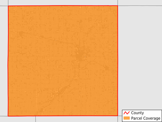
Parcels in County:
17,509
Parcel data available to download as a GDB, GeoPackage, Shapefile, Excel, CSV, or Google Earth KML file.
All purchased data comes with six months of access, including any updates, at no additional cost.
Key attribute coverage for Cherokee County
The percentage of Cherokee County parcels containing the following key attributes:
Owner: 99.5%
Parcel Number: 100%
Acreage (Calculated): 100%
Site Address: 40.3%
Mailing Address: 99.1%
All available attributes in Cherokee County
Parcel Number
Site Address
Owner
Land Use Code
Land Use Class
Zoning
Acreage (deeded)
Acreage (calculated)
Perimeter
Municipality
School District
Zip Code
Flood Zone
Flood Zone Subtype
Census Tract
Census Block Group
Census Block
Mail Name
Mail Address1
Mail Address3
Legal Desc1
Addr Sec Unit Num
Place Gnis Code
Land Cover
Elevation
Owner Occupied
Robust Id
Usps Residential
Plss Description
Plss Township
Plss Range
Plss Section
Crop Cover
Acreage Adjacent With Sameowner
Flood Zones
Nearest Transmission Line Dist Ft
Nearest Substation Dist Ft
Derived Geom Properties
Robust Id Source
Municipalities Respresented in Cherokee County
Afton Township: 761
Amherst Township: 1,082
Cedar Township: 895
Cherokee Township: 3,861
Diamond Township: 702
Grand Meadow Township: 706
Liberty Township: 733
Marcus Township: 1,199
Pilot Township: 917
Pitcher Township: 1,281
Rock Township: 726
Sheridan Township: 1,098
Silver Township: 725
Spring Township: 782
Tilden Township: 753
Willow Township: 1,288
Save money when you buy data in bulk
We offer discounted pricing on county and state downloads.