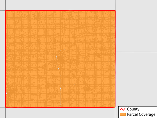
Chickasaw County
Parcel Data
Price: $250.00
Last Updated:
2025-Q4
Parcels in County:
10,104
Parcel data available to download as a GDB, GeoPackage, Shapefile, Excel, CSV, or Google Earth KML file.
All purchased data comes with six months of access, including any updates, at no additional cost.
Key attribute coverage for Chickasaw County
The percentage of Chickasaw County parcels containing the following key attributes:
Owner: 99.6%
Parcel Number: 100%
Acreage (Calculated): 100%
Site Address: 62.1%
Mailing Address: 100%
All available attributes in Chickasaw County
Parcel Number
Site Address
Owner
Land Use Code
Land Use Class
Acreage (deeded)
Acreage (calculated)
Perimeter
Municipality
School District
Zip Code
Flood Zone
Flood Zone Subtype
Census Tract
Census Block Group
Census Block
Mail Address1
Mail Address2
Mail Address3
Legal Desc1
Addr Sec Unit Num
Place Gnis Code
Land Cover
Elevation
Owner Occupied
Robust Id
Usps Residential
Alt Id 1
Alt Id 2
Plss Description
Plss Township
Plss Range
Plss Section
Crop Cover
Acreage Adjacent With Sameowner
Flood Zones
Nearest Transmission Line Dist Ft
Nearest Substation Dist Ft
Derived Geom Properties
Municipalities Respresented in Chickasaw County
Bradford Township: 1,545
Chickasaw Township: 745
Dayton Township: 1,045
Deerfield Township: 534
Dresden Township: 683
Fredericksburg Township: 682
Jacksonville Township: 586
New Hampton Township: 1,744
Richland Township: 375
Stapleton Township: 680
Utica Township: 656
Washington Township: 829
Save money when you buy data in bulk
We offer discounted pricing on county and state downloads.