Last Updated:
2026-Q2
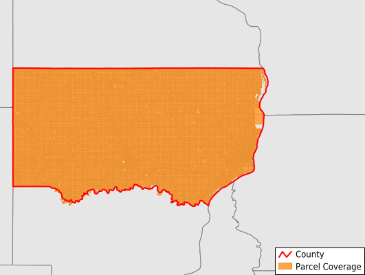
Parcels in County:
34,563
Parcel data available to download as a GDB, GeoPackage, Shapefile, Excel, CSV, or Google Earth KML file.
All purchased data comes with six months of access, including any updates, at no additional cost.
Key attribute coverage for Clinton County
The percentage of Clinton County parcels containing the following key attributes:
Owner: 99.2%
Parcel Number: 99.9%
Acreage (Calculated): 100%
Site Address: 65%
Mailing Address: 100%
All available attributes in Clinton County
Parcel Number
Site Address
Owner
Transfer Date
Sale Price
Land Use Code
Land Use Class
Acreage (deeded)
Acreage (calculated)
Perimeter
Municipality
School District
Zip Code
Flood Zone
Flood Zone Subtype
Census Tract
Census Block Group
Census Block
Land Market Value
Building Market Value
Mail Address1
Mail Address2
Mail Address3
Legal Desc1
Addr Sec Unit Num
Place Gnis Code
Land Cover
Elevation
Owner Occupied
Robust Id
Usps Residential
Alt Id 1
Plss Description
Plss Township
Plss Range
Plss Section
Crop Cover
Acreage Adjacent With Sameowner
Flood Zones
Nearest Transmission Line Dist Ft
Nearest Substation Dist Ft
Derived Geom Properties
Robust Id Source
Municipalities Respresented in Clinton County
Bloomfield Township: 1,097
Brookfield Township: 786
Camanche Township: 2,434
Center Township: 947
Clinton City: 12,417
Deep Creek Township: 967
Dewitt Township: 3,940
Eden Township: 1,057
Elk River Township: 1,241
Grant Township: 702
Hampshire Township: 1,056
Liberty Township: 823
Olive Township: 1,227
Orange Township: 1,020
Sharon Township: 1,032
Spring Rock Township: 1,297
Washington Township: 658
Waterford Township: 997
Welton Township: 834
Save money when you buy data in bulk
We offer discounted pricing on county and state downloads.