Last Updated:
2025-Q4
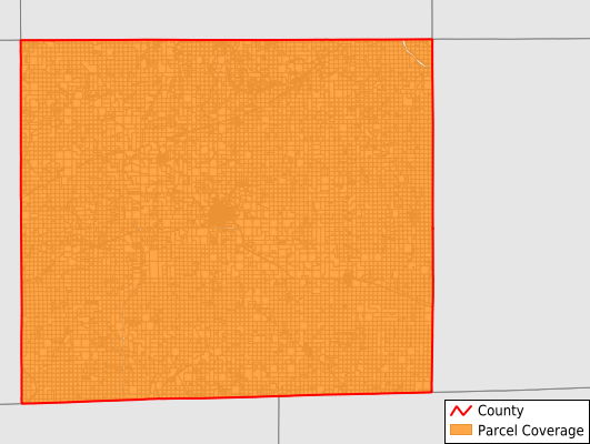
Parcels in County:
12,348
Parcel data available to download as a GDB, GeoPackage, Shapefile, Excel, CSV, or Google Earth KML file.
All purchased data comes with six months of access, including any updates, at no additional cost.
Key attribute coverage for Davis County
The percentage of Davis County parcels containing the following key attributes:
Owner: 99.6%
Parcel Number: 100%
Acreage (Calculated): 100%
Site Address: 37.5%
Mailing Address: 4.4%
All available attributes in Davis County
Parcel Number
Site Address
Owner
Land Use Code
Land Use Class
Acreage (deeded)
Acreage (calculated)
Perimeter
Municipality
School District
Zip Code
Flood Zone
Flood Zone Subtype
Census Tract
Census Block Group
Census Block
Mail Name
Mail Address1
Mail Address3
Legal Desc1
Place Gnis Code
Land Cover
Elevation
Owner Occupied
Robust Id
Usps Residential
Plss Description
Plss Township
Plss Range
Plss Section
Crop Cover
Acreage Adjacent With Sameowner
Flood Zones
Nearest Transmission Line Dist Ft
Nearest Substation Dist Ft
Derived Geom Properties
Municipalities Respresented in Davis County
Bloomfield City: 1,549
Cleveland Township: 781
Drakesville Township: 346
Fabius Township: 697
Fox River Township: 607
Grove Township: 755
Lick Creek Township: 1,030
Marion Township: 658
Perry Township: 613
Prairie Township: 670
Roscoe Township: 467
Salt Creek Township: 769
Soap Creek Township: 861
Union Township: 760
West Grove Township: 860
Wyacondah Township: 924
Save money when you buy data in bulk
We offer discounted pricing on county and state downloads.