Last Updated:
2026-Q3
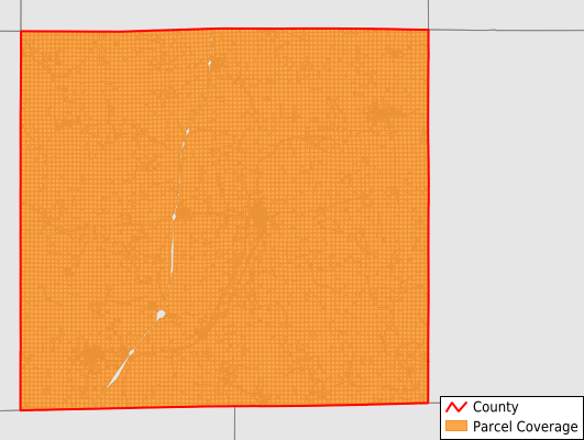
Parcels in County:
16,095
Parcel data available to download as a GDB, GeoPackage, Shapefile, Excel, CSV, or Google Earth KML file.
All purchased data comes with six months of access, including any updates, at no additional cost.
Key attribute coverage for Decatur County
The percentage of Decatur County parcels containing the following key attributes:
Owner: 99.8%
Parcel Number: 100%
Acreage (Calculated): 100%
Site Address: 24.1%
Mailing Address: 98.9%
All available attributes in Decatur County
Parcel Number
Site Address
Owner
Land Use Code
Acreage (deeded)
Acreage (calculated)
Perimeter
Municipality
School District
Zip Code
Flood Zone
Flood Zone Subtype
Census Tract
Census Block Group
Census Block
Total Market Value
Land Market Value
Building Market Value
Mail Address1
Mail Address2
Mail Address3
Legal Desc1
Place Gnis Code
Land Cover
Elevation
Owner Occupied
Robust Id
Usps Residential
Alt Id 1
Plss Description
Plss Township
Plss Range
Plss Section
Crop Cover
Acreage Adjacent With Sameowner
Flood Zones
Nearest Transmission Line Dist Ft
Nearest Substation Dist Ft
Derived Geom Properties
Robust Id Source
Geom Id
Municipalities Respresented in Decatur County
Bloomington Township: 770
Burrell Township: 1,047
Center Township: 807
Decatur Township: 1,046
Eden Township: 969
Fayette Township: 520
Franklin Township: 919
Garden Grove Township: 1,122
Grand River Township: 780
Hamilton Township: 724
High Point Township: 791
Lamoni City: 1,100
Leon City: 1,265
Long Creek Township: 1,024
Morgan Township: 634
New Buda Township: 681
Richland Township: 1,064
Woodland Township: 832
Save money when you buy data in bulk
We offer discounted pricing on county and state downloads.