Last Updated:
2025-Q4
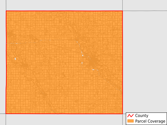
Parcels in County:
11,984
Parcel data available to download as a GDB, GeoPackage, Shapefile, Excel, CSV, or Google Earth KML file.
All purchased data comes with six months of access, including any updates, at no additional cost.
Key attribute coverage for Floyd County
The percentage of Floyd County parcels containing the following key attributes:
Owner: 99.7%
Parcel Number: 99.1%
Acreage (Calculated): 100%
Site Address: 70.9%
Mailing Address: 96.2%
All available attributes in Floyd County
Parcel Number
Site Address
Owner
Land Use Code
Land Use Class
Acreage (deeded)
Acreage (calculated)
Perimeter
Municipality
School District
Zip Code
Flood Zone
Flood Zone Subtype
Census Tract
Census Block Group
Census Block
Mail Address1
Legal Desc1
Place Gnis Code
Land Cover
Elevation
Owner Occupied
Robust Id
Usps Residential
Alt Id 1
Plss Description
Plss Township
Plss Range
Plss Section
Crop Cover
Acreage Adjacent With Sameowner
Flood Zones
Nearest Transmission Line Dist Ft
Nearest Substation Dist Ft
Derived Geom Properties
Municipalities Respresented in Floyd County
Cedar Township: 318
Charles City City: 3,892
Floyd Township: 876
Niles Township: 489
Pleasant Grove Township: 290
Riverton Township: 597
Rockford Township: 1,066
Rock Grove Township: 1,176
Rudd Township: 640
St. Charles Township: 1,085
Scott Township: 332
Ulster Township: 466
Union Township: 757
Save money when you buy data in bulk
We offer discounted pricing on county and state downloads.