Last Updated:
2025-Q4
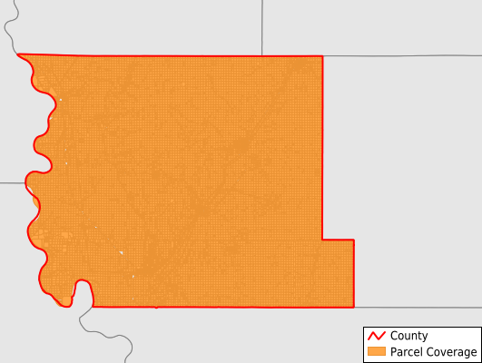
Parcels in County:
25,265
Parcel data available to download as a GDB, GeoPackage, Shapefile, Excel, CSV, or Google Earth KML file.
All purchased data comes with six months of access, including any updates, at no additional cost.
Key attribute coverage for Harrison County
The percentage of Harrison County parcels containing the following key attributes:
Owner: 99.9%
Parcel Number: 100%
Acreage (Calculated): 100%
Site Address: 32.1%
Mailing Address: 99.7%
All available attributes in Harrison County
Parcel Number
Site Address
Owner
Land Use Code
Land Use Class
Zoning
Acreage (deeded)
Acreage (calculated)
Perimeter
Municipality
School District
Zip Code
Flood Zone
Flood Zone Subtype
Census Tract
Census Block Group
Census Block
Mail Address1
Mail Address2
Mail Address3
Legal Desc1
Buildings
Addr Sec Unit Num
Place Gnis Code
Land Cover
Elevation
Owner Occupied
Robust Id
Usps Residential
Plss Description
Plss Township
Plss Range
Plss Section
Crop Cover
Acreage Adjacent With Sameowner
Flood Zones
Nearest Transmission Line Dist Ft
Nearest Substation Dist Ft
Derived Geom Properties
Municipalities Respresented in Harrison County
Allen Township: 768
Boyer Township: 2,216
Calhoun Township: 645
Cass Township: 808
Cincinnati Township: 981
Clay Township: 564
Douglas Township: 754
Harrison Township: 1,718
Jackson Township: 1,141
Jefferson Township: 2,039
La Grange Township: 956
Lincoln Township: 805
Little Sioux Township: 2,355
Magnolia Township: 1,456
Morgan Township: 868
Raglan Township: 724
St. John Township: 3,483
Taylor Township: 1,056
Union Township: 847
Washington Township: 1,075
Save money when you buy data in bulk
We offer discounted pricing on county and state downloads.