Last Updated:
2026-Q2
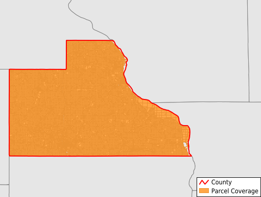
Parcels in County:
22,321
Parcel data available to download as a GDB, GeoPackage, Shapefile, Excel, CSV, or Google Earth KML file.
All purchased data comes with six months of access, including any updates, at no additional cost.
Key attribute coverage for Jackson County
The percentage of Jackson County parcels containing the following key attributes:
Owner: 100%
Parcel Number: 99.9%
Acreage (Calculated): 100%
Site Address: 52.6%
Mailing Address: 99.6%
All available attributes in Jackson County
Parcel Number
Site Address
Owner
Land Use Code
Land Use Class
Acreage (deeded)
Acreage (calculated)
Perimeter
Municipality
School District
Zip Code
Flood Zone
Flood Zone Subtype
Census Tract
Census Block Group
Census Block
Mail Address1
Mail Address3
Legal Desc1
Place Gnis Code
Land Cover
Elevation
Owner Occupied
Robust Id
Usps Residential
Alt Id 2
Plss Description
Plss Township
Plss Range
Plss Section
Crop Cover
Acreage Adjacent With Sameowner
Flood Zones
Nearest Transmission Line Dist Ft
Nearest Substation Dist Ft
Derived Geom Properties
Robust Id Source
Municipalities Respresented in Jackson County
Bellevue Township: 2,356
Brandon Township: 880
Butler Township: 966
Fairfield Township: 825
Farmers Creek Township: 951
Iowa Township: 1,087
Jackson Township: 863
Maquoketa Township: 1,967
Monmouth Township: 1,095
Otter Creek Township: 1,233
Perry Township: 1,058
Prairie Springs Township: 968
Richland Township: 866
South Fork Township: 2,841
Tete Des Morts Township: 1,235
Union Township: 718
Van Buren Township: 1,538
Washington Township: 873
Save money when you buy data in bulk
We offer discounted pricing on county and state downloads.