Last Updated:
2026-Q2
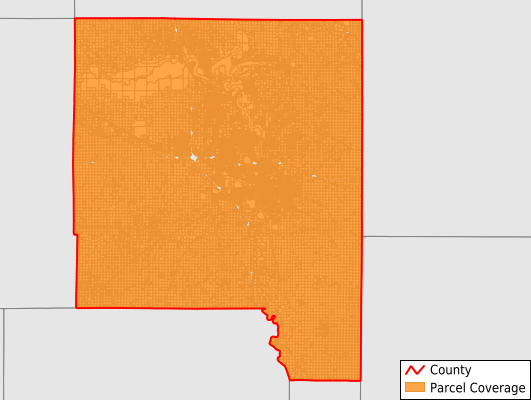
Parcels in County:
73,771
Parcel data available to download as a GDB, GeoPackage, Shapefile, Excel, CSV, or Google Earth KML file.
All purchased data comes with six months of access, including any updates, at no additional cost.
Key attribute coverage for Johnson County
The percentage of Johnson County parcels containing the following key attributes:
Owner: 99.9%
Parcel Number: 100%
Acreage (Calculated): 100%
Site Address: 83.4%
Mailing Address: 100%
All available attributes in Johnson County
Parcel Number
Site Address
Owner
Transfer Date
Land Use Code
Land Use Class
Acreage (deeded)
Acreage (calculated)
Perimeter
Municipality
School District
Zip Code
Flood Zone
Flood Zone Subtype
Census Tract
Census Block Group
Census Block
Total Market Value
Land Market Value
Building Market Value
Map Book
Map Page
Mail Name
Mail Address1
Mail Address2
Mail Address3
Legal Desc1
Buildings
Addr Sec Unit Num
Place Gnis Code
Land Cover
Elevation
Owner Occupied
Robust Id
Usps Residential
Plss Description
Plss Township
Plss Range
Plss Section
Crop Cover
Acreage Adjacent With Sameowner
Flood Zones
Nearest Transmission Line Dist Ft
Nearest Substation Dist Ft
Derived Geom Properties
Robust Id Source
Municipalities Respresented in Johnson County
Big Grove Township: 3,136
Cedar Township: 952
Clear Creek Township: 5,582
East Lucas Township: 329
Fremont Township: 1,595
Graham Township: 805
Hardin Township: 861
Iowa City City: 26,820
Jefferson Township: 2,501
Liberty Township: 1,280
Lincoln Township: 507
Madison Township: 3,175
Monroe Township: 730
Newport Township: 1,547
Oxford Township: 1,343
Penn Township: 12,727
Pleasant Valley Township: 563
Scott Township: 1,323
Sharon Township: 1,008
Union Township: 1,036
Washington Township: 1,180
West Lucas Township: 4,771
Save money when you buy data in bulk
We offer discounted pricing on county and state downloads.