Last Updated:
2026-Q3
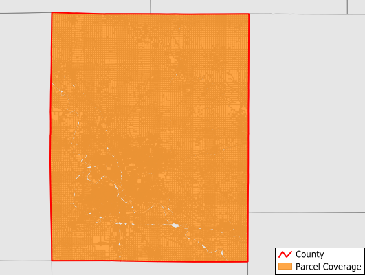
Parcels in County:
105,865
Parcel data available to download as a GDB, GeoPackage, Shapefile, Excel, CSV, or Google Earth KML file.
All purchased data comes with six months of access, including any updates, at no additional cost.
Key attribute coverage for Linn County
The percentage of Linn County parcels containing the following key attributes:
Owner: 99.9%
Parcel Number: 100%
Acreage (Calculated): 100%
Site Address: 89%
Mailing Address: 99.9%
All available attributes in Linn County
Parcel Number
Site Address
Owner
Land Use Code
Land Use Class
Acreage (deeded)
Acreage (calculated)
Perimeter
Municipality
School District
Zip Code
Flood Zone
Flood Zone Subtype
Census Tract
Census Block Group
Census Block
Total Market Value
Land Market Value
Building Market Value
Mail Name
Mail Address1
Mail Address3
Legal Desc1
Buildings
Addr Sec Unit Num
Place Gnis Code
Land Cover
Elevation
Owner Occupied
Robust Id
Usps Residential
Plss Description
Plss Township
Plss Range
Plss Section
Crop Cover
Acreage Adjacent With Sameowner
Flood Zones
Nearest Transmission Line Dist Ft
Nearest Substation Dist Ft
Derived Geom Properties
Robust Id Source
Geom Id
Duplicate Geom Seq
Duplicate Geom Ct
Municipalities Respresented in Linn County
Bertram Township: 1,894
Boulder Township: 833
Brown Township: 1,644
Buffalo Township: 916
Cedar Rapids City: 53,784
Clinton Township: 1,092
College Township: 907
Fairfax Township: 2,814
Fayette Township: 1,360
Franklin Township: 3,591
Grant Township: 1,191
Jackson Township: 1,365
Linn Township: 1,021
Maine Township: 1,502
Marion Township: 18,953
Monroe Township: 6,770
Otter Creek Township: 1,285
Putnam Township: 1,754
Spring Grove Township: 1,029
Washington Township: 2,160
Save money when you buy data in bulk
We offer discounted pricing on county and state downloads.