Last Updated:
2026-Q2
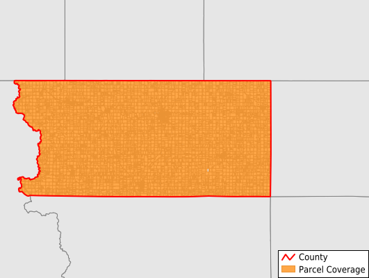
Parcels in County:
11,880
Parcel data available to download as a GDB, GeoPackage, Shapefile, Excel, CSV, or Google Earth KML file.
All purchased data comes with six months of access, including any updates, at no additional cost.
Key attribute coverage for Lyon County
The percentage of Lyon County parcels containing the following key attributes:
Owner: 99.1%
Parcel Number: 99.9%
Acreage (Calculated): 100%
Site Address: 55.4%
Mailing Address: 98.5%
All available attributes in Lyon County
Parcel Number
Site Address
Owner
Land Use Code
Land Use Class
Zoning
Acreage (deeded)
Acreage (calculated)
Perimeter
Municipality
School District
Zip Code
Flood Zone
Flood Zone Subtype
Census Tract
Census Block Group
Census Block
Coowner
Mail Name
Mail Address1
Mail Address3
Legal Desc1
Addr Sec Unit Num
Place Gnis Code
Land Cover
Elevation
Owner Occupied
Robust Id
Usps Residential
Plss Description
Plss Township
Plss Range
Plss Section
Crop Cover
Acreage Adjacent With Sameowner
Flood Zones
Nearest Transmission Line Dist Ft
Nearest Substation Dist Ft
Derived Geom Properties
Robust Id Source
Municipalities Respresented in Lyon County
Allison Township: 392
Centennial Township: 346
Cleveland Township: 461
Dale Township: 423
Doon Township: 1,063
Elgin Township: 598
Garfield Township: 458
Grant Township: 473
Larchwood Township: 1,141
Liberal Township: 554
Logan Township: 471
Lyon Township: 412
Midland Township: 295
Richland Township: 1,016
Riverside Township: 495
Rock Township: 1,812
Sioux Township: 459
Wheeler Township: 1,011
Save money when you buy data in bulk
We offer discounted pricing on county and state downloads.