Last Updated:
2026-Q2
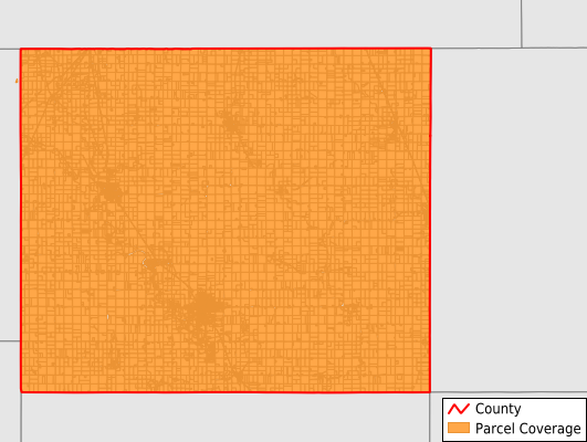
Parcels in County:
11,769
Parcel data available to download as a GDB, GeoPackage, Shapefile, Excel, CSV, or Google Earth KML file.
All purchased data comes with six months of access, including any updates, at no additional cost.
Key attribute coverage for Mitchell County
The percentage of Mitchell County parcels containing the following key attributes:
Owner: 98.5%
Parcel Number: 100%
Acreage (Calculated): 100%
Site Address: 48.4%
Mailing Address: 95%
All available attributes in Mitchell County
Parcel Number
Site Address
Owner
Land Use Code
Land Use Class
Acreage (deeded)
Acreage (calculated)
Perimeter
Municipality
School District
Zip Code
Flood Zone
Flood Zone Subtype
Census Tract
Census Block Group
Census Block
Coowner
Mail Name
Mail Address1
Mail Address2
Mail Address3
Legal Desc1
Addr Sec Unit Num
Place Gnis Code
Land Cover
Elevation
Owner Occupied
Robust Id
Usps Residential
Plss Description
Plss Township
Plss Range
Plss Section
Crop Cover
Acreage Adjacent With Sameowner
Flood Zones
Nearest Transmission Line Dist Ft
Nearest Substation Dist Ft
Derived Geom Properties
Robust Id Source
Municipalities Respresented in Mitchell County
Burr Oak Township: 374
Cedar Township: 839
Douglas Township: 500
East Lincoln Township: 240
Jenkins Township: 875
Liberty Township: 414
Mitchell Township: 642
Newburg Township: 554
Osage Township: 2,508
Otranto Township: 642
Rock Township: 466
St. Ansgar Township: 1,546
Stacyville Township: 860
Union Township: 414
Wayne Township: 535
West Lincoln Township: 360
Save money when you buy data in bulk
We offer discounted pricing on county and state downloads.