Last Updated:
2026-Q2
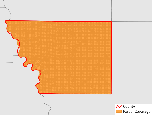
Parcels in County:
20,963
Parcel data available to download as a GDB, GeoPackage, Shapefile, Excel, CSV, or Google Earth KML file.
All purchased data comes with six months of access, including any updates, at no additional cost.
Key attribute coverage for Monona County
The percentage of Monona County parcels containing the following key attributes:
Owner: 97.6%
Parcel Number: 100%
Acreage (Calculated): 100%
Site Address: 28%
Mailing Address: 94.2%
All available attributes in Monona County
Parcel Number
Site Address
Owner
Transfer Date
Land Use Code
Land Use Class
Acreage (calculated)
Perimeter
Municipality
School District
Zip Code
Flood Zone
Flood Zone Subtype
Census Tract
Census Block Group
Census Block
Total Market Value
Land Market Value
Building Market Value
Map Book
Map Page
Mail Address1
Legal Desc1
Place Gnis Code
Land Cover
Elevation
Owner Occupied
Robust Id
Usps Residential
Plss Description
Plss Township
Plss Range
Plss Section
Crop Cover
Acreage Adjacent With Sameowner
Flood Zones
Nearest Transmission Line Dist Ft
Nearest Substation Dist Ft
Derived Geom Properties
Robust Id Source
Municipalities Respresented in Monona County
Ashton Township: 1,151
Belvidere Township: 984
Center Township: 805
Cooper Township: 1,012
Fairview Township: 567
Franklin Township: 1,089
Grant Township: 1,142
Jordan Township: 772
Kennebec Township: 1,214
Lake Township: 708
Lincoln Township: 1,158
Maple Township: 1,610
Onawa City: 1,826
St. Clair Township: 1,139
Sherman Township: 992
Sioux Township: 791
Soldier Township: 1,050
Spring Valley Township: 1,149
West Fork Township: 1,029
Willow Township: 743
Save money when you buy data in bulk
We offer discounted pricing on county and state downloads.