Last Updated:
2026-Q2
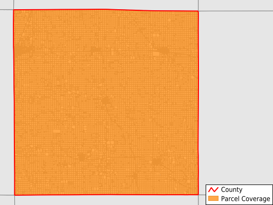
Parcels in County:
18,595
Parcel data available to download as a GDB, GeoPackage, Shapefile, Excel, CSV, or Google Earth KML file.
All purchased data comes with six months of access, including any updates, at no additional cost.
Key attribute coverage for O'Brien County
The percentage of O'Brien County parcels containing the following key attributes:
Owner: 99.6%
Parcel Number: 100%
Acreage (Calculated): 100%
Site Address: 45.4%
Mailing Address: 97.8%
All available attributes in O'Brien County
Parcel Number
Site Address
Owner
Land Use Code
Land Use Class
Acreage (deeded)
Acreage (calculated)
Perimeter
Municipality
School District
Zip Code
Flood Zone
Flood Zone Subtype
Census Tract
Census Block Group
Census Block
Mail Name
Mail Address1
Mail Address2
Mail Address3
Legal Desc1
Addr Sec Unit Num
Place Gnis Code
Land Cover
Elevation
Owner Occupied
Robust Id
Usps Residential
Alt Id 1
Plss Description
Plss Township
Plss Range
Plss Section
Crop Cover
Acreage Adjacent With Sameowner
Flood Zones
Nearest Transmission Line Dist Ft
Nearest Substation Dist Ft
Derived Geom Properties
Robust Id Source
Municipalities Respresented in O'Brien County
Baker Township: 748
Caledonia Township: 742
Carroll Township: 917
Center Township: 879
Dale Township: 848
Floyd Township: 3,404
Franklin Township: 1,634
Grant Township: 685
Hartley Township: 1,731
Highland Township: 839
Liberty Township: 914
Lincoln Township: 735
Omega Township: 756
Summit Township: 1,086
Union Township: 1,451
Waterman Township: 1,226
Save money when you buy data in bulk
We offer discounted pricing on county and state downloads.