Last Updated:
2026-Q2
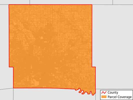
Parcels in County:
208,393
Parcel data available to download as a GDB, GeoPackage, Shapefile, Excel, CSV, or Google Earth KML file.
All purchased data comes with six months of access, including any updates, at no additional cost.
Key attribute coverage for Polk County
The percentage of Polk County parcels containing the following key attributes:
Owner: 100%
Parcel Number: 100%
Acreage (Calculated): 100%
Site Address: 82.7%
Mailing Address: 100%
All available attributes in Polk County
Parcel Number
Site Address
Owner
Land Use Code
Land Use Class
Acreage (calculated)
Perimeter
Municipality
School District
Zip Code
Flood Zone
Flood Zone Subtype
Census Tract
Census Block Group
Census Block
Total Market Value
Land Market Value
Building Market Value
Mail Address1
Mail Address2
Mail Address3
Buildings
Place Gnis Code
Land Cover
Elevation
Owner Occupied
Robust Id
Usps Residential
Alt Id 1
Plss Description
Plss Township
Plss Range
Plss Section
Crop Cover
Acreage Adjacent With Sameowner
Flood Zones
Nearest Transmission Line Dist Ft
Nearest Substation Dist Ft
Derived Geom Properties
Robust Id Source
Municipalities Respresented in Polk County
Allen Township: 1,682
Beaver Township: 1,798
Bloomfield Township: 12,068
Camp Township: 2,230
Clay Township: 10,032
Crocker Township: 25,905
Delaware Township: 5,089
Des Moines Township: 39,882
Douglas Township: 7,014
Elkhart Township: 2,107
Four Mile Township: 5,119
Franklin Township: 3,260
Jefferson Township: 7,675
Lee Township: 26,993
Lincoln Township: 1,949
Madison Township: 3,087
Saylor Township: 4,222
Saylorville Reservoir UT: 526
Union Township: 472
Walnut Township: 23,533
Washington Township: 800
Webster Township: 22,949
Save money when you buy data in bulk
We offer discounted pricing on county and state downloads.