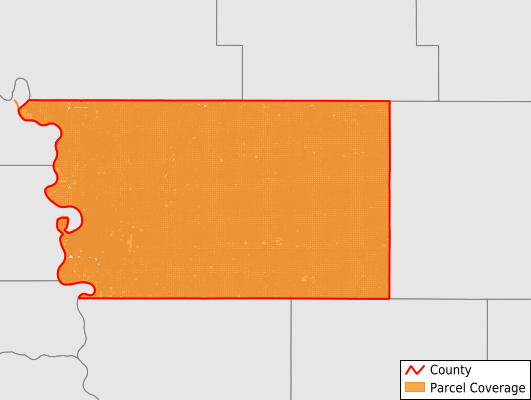
Pottawattamie County
Parcel Data
Price: $250.00
Last Updated:
2026-Q2
Parcels in County:
54,227
Parcel data available to download as a GDB, GeoPackage, Shapefile, Excel, CSV, or Google Earth KML file.
All purchased data comes with six months of access, including any updates, at no additional cost.
Key attribute coverage for Pottawattamie County
The percentage of Pottawattamie County parcels containing the following key attributes:
Owner: 99.2%
Parcel Number: 100%
Acreage (Calculated): 100%
Site Address: 64.4%
Mailing Address: 98.9%
All available attributes in Pottawattamie County
Parcel Number
Site Address
Owner
Transfer Date
Land Use Code
Land Use Class
Zoning
Acreage (calculated)
Perimeter
Municipality
School District
Zip Code
Flood Zone
Flood Zone Subtype
Census Tract
Census Block Group
Census Block
Total Market Value
Land Market Value
Building Market Value
Map Book
Map Page
Mail Name
Mail Address1
Mail Address2
Mail Address3
Legal Desc1
Buildings
Addr Sec Unit Num
Place Gnis Code
Land Cover
Elevation
Owner Occupied
Robust Id
Usps Residential
Alt Id 1
Plss Description
Plss Township
Plss Range
Plss Section
Crop Cover
Acreage Adjacent With Sameowner
Flood Zones
Nearest Transmission Line Dist Ft
Nearest Substation Dist Ft
Derived Geom Properties
Robust Id Source
Municipalities Respresented in Pottawattamie County
Belknap Township: 1,321
Boomer Township: 929
Carson Township: 902
Center Township: 687
Crescent Township: 1,208
Garner Township: 3,135
Grove Township: 682
Hardin Township: 1,055
Hazel Dell Township: 1,111
James Township: 688
Kane Township: 20,655
Keg Creek Township: 964
Knox Township: 1,704
Lake Township: 692
Layton Township: 1,171
Lewis Township: 6,126
Lincoln Township: 625
Macedonia Township: 680
Minden Township: 1,075
Neola Township: 1,208
Norwalk Township: 1,297
Pleasant Township: 667
Rockford Township: 1,023
Silver Creek Township: 1,034
Valley Township: 832
Washington Township: 713
Waveland Township: 706
Wright Township: 663
York Township: 674
Save money when you buy data in bulk
We offer discounted pricing on county and state downloads.