Last Updated:
2026-Q2
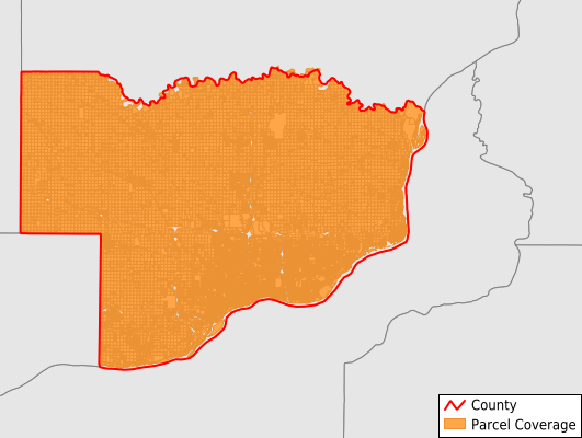
Parcels in County:
75,505
Parcel data available to download as a GDB, GeoPackage, Shapefile, Excel, CSV, or Google Earth KML file.
All purchased data comes with six months of access, including any updates, at no additional cost.
Key attribute coverage for Scott County
The percentage of Scott County parcels containing the following key attributes:
Owner: 99.3%
Parcel Number: 100%
Acreage (Calculated): 100%
Site Address: 84.2%
Mailing Address: 99.5%
All available attributes in Scott County
Parcel Number
Site Address
Owner
Transfer Date
Sale Price
Land Use Code
Land Use Class
Acreage (deeded)
Acreage (calculated)
Perimeter
Municipality
School District
Zip Code
Flood Zone
Flood Zone Subtype
Census Tract
Census Block Group
Census Block
Total Market Value
Land Market Value
Building Market Value
Mail Name
Mail Address1
Mail Address2
Mail Address3
Legal Desc1
Legal Desc2
Legal Desc3
Buildings
Addr Sec Unit Num
Place Gnis Code
Land Cover
Elevation
Owner Occupied
Robust Id
Usps Residential
Plss Description
Plss Township
Plss Range
Plss Section
Crop Cover
Acreage Adjacent With Sameowner
Flood Zones
Nearest Transmission Line Dist Ft
Nearest Substation Dist Ft
Derived Geom Properties
Robust Id Source
Municipalities Respresented in Scott County
Allens Grove Township: 1,040
Blue Grass Township: 2,029
Buffalo Township: 2,671
Butler Township: 1,935
Cleona Township: 835
Hickory Grove Township: 932
Le Claire Township: 3,586
Liberty Township: 993
Lincoln Township: 698
Pleasant Valley Township: 16,658
Princeton Township: 1,186
Sheridan Township: 3,383
Winfield Township: 1,248
Davenport City: 38,298
Save money when you buy data in bulk
We offer discounted pricing on county and state downloads.