Last Updated:
2026-Q2
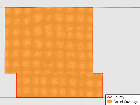
Parcels in County:
17,695
Parcel data available to download as a GDB, GeoPackage, Shapefile, Excel, CSV, or Google Earth KML file.
All purchased data comes with six months of access, including any updates, at no additional cost.
Key attribute coverage for Shelby County
The percentage of Shelby County parcels containing the following key attributes:
Owner: 100%
Parcel Number: 100%
Acreage (Calculated): 100%
Site Address: 36.4%
Mailing Address: 97.9%
All available attributes in Shelby County
Parcel Number
Site Address
Owner
Land Use Code
Land Use Class
Acreage (deeded)
Acreage (calculated)
Perimeter
Municipality
School District
Zip Code
Flood Zone
Flood Zone Subtype
Census Tract
Census Block Group
Census Block
Mail Address1
Mail Address2
Mail Address3
Legal Desc1
Addr Sec Unit Num
Place Gnis Code
Land Cover
Elevation
Owner Occupied
Robust Id
Usps Residential
Alt Id 1
Alt Id 2
Plss Description
Plss Township
Plss Range
Plss Section
Crop Cover
Acreage Adjacent With Sameowner
Flood Zones
Nearest Transmission Line Dist Ft
Nearest Substation Dist Ft
Derived Geom Properties
Robust Id Source
Municipalities Respresented in Shelby County
Cass Township: 953
Center Township: 944
Clay Township: 1,241
Douglas Township: 865
Fairview Township: 916
Greeley Township: 770
Grove Township: 755
Harlan City: 2,567
Jackson Township: 786
Jefferson Township: 1,042
Lincoln Township: 813
Monroe Township: 813
Polk Township: 711
Shelby Township: 1,342
Union Township: 1,154
Washington Township: 986
Westphalia Township: 1,037
Save money when you buy data in bulk
We offer discounted pricing on county and state downloads.