Last Updated:
2026-Q1
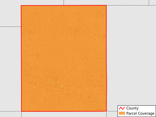
Parcels in County:
22,974
Parcel data available to download as a GDB, GeoPackage, Shapefile, Excel, CSV, or Google Earth KML file.
All purchased data comes with six months of access, including any updates, at no additional cost.
Key attribute coverage for Tama County
The percentage of Tama County parcels containing the following key attributes:
Owner: 99.7%
Parcel Number: 99.9%
Acreage (Calculated): 100%
Site Address: 42.1%
Mailing Address: 98.2%
All available attributes in Tama County
Parcel Number
Site Address
Owner
Land Use Code
Land Use Class
Acreage (deeded)
Acreage (calculated)
Perimeter
Municipality
School District
Zip Code
Flood Zone
Flood Zone Subtype
Census Tract
Census Block Group
Census Block
Mail Name
Mail Address1
Mail Address2
Mail Address3
Legal Desc1
Addr Sec Unit Num
Place Gnis Code
Land Cover
Elevation
Owner Occupied
Robust Id
Usps Residential
Alt Id 1
Plss Description
Plss Township
Plss Range
Plss Section
Crop Cover
Acreage Adjacent With Sameowner
Flood Zones
Nearest Transmission Line Dist Ft
Nearest Substation Dist Ft
Derived Geom Properties
Robust Id Source
Municipalities Respresented in Tama County
Buckingham Township: 831
Carlton Township: 1,207
Carroll Township: 786
Clark Township: 1,442
Columbia Township: 834
Crystal Township: 695
Geneseo Township: 860
Grant Township: 773
Highland Township: 691
Howard Township: 737
Indian Village Township: 1,203
Lincoln Township: 897
Oneida Township: 907
Otter Creek Township: 854
Perry Township: 1,723
Richland Township: 878
Salt Creek Township: 1,362
Spring Creek Township: 1,541
Tama Township: 1,777
Toledo Township: 1,795
York Township: 1,181
Save money when you buy data in bulk
We offer discounted pricing on county and state downloads.