Last Updated:
2026-Q2
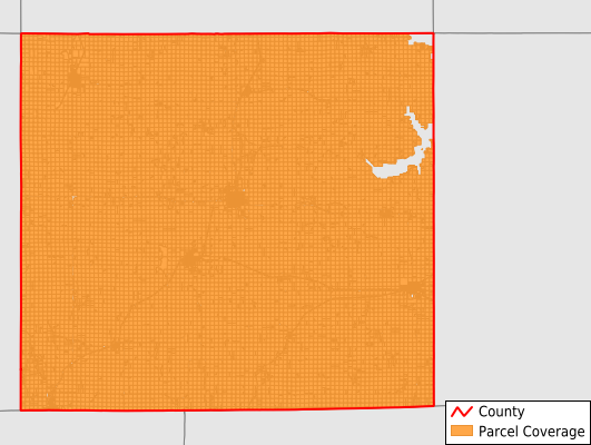
Parcels in County:
13,873
Parcel data available to download as a GDB, GeoPackage, Shapefile, Excel, CSV, or Google Earth KML file.
All purchased data comes with six months of access, including any updates, at no additional cost.
Key attribute coverage for Wayne County
The percentage of Wayne County parcels containing the following key attributes:
Owner: 100%
Parcel Number: 100%
Acreage (Calculated): 100%
Site Address: 29.5%
Mailing Address: 99.9%
All available attributes in Wayne County
Parcel Number
Site Address
Owner
Transfer Date
Sale Price
Building Size
Land Use Code
Land Use Class
Acreage (deeded)
Acreage (calculated)
Perimeter
Municipality
School District
Zip Code
Flood Zone
Flood Zone Subtype
Census Tract
Census Block Group
Census Block
Total Market Value
Land Market Value
Building Market Value
Mail Address1
Mail Address2
Mail Address3
Legal Desc1
Year Built
Style
Place Gnis Code
Land Cover
Elevation
Owner Occupied
Robust Id
Usps Residential
Alt Id 1
Plss Description
Plss Township
Plss Range
Plss Section
Crop Cover
Acreage Adjacent With Sameowner
Flood Zones
Nearest Transmission Line Dist Ft
Nearest Substation Dist Ft
Derived Geom Properties
Robust Id Source
Municipalities Respresented in Wayne County
Benton Township: 765
Clay Township: 689
Clinton Township: 486
Corydon Township: 1,745
Grand River Township: 838
Howard Township: 473
Jackson Township: 803
Jefferson Township: 703
Monroe Township: 493
Richman Township: 1,069
South Fork Township: 824
Union Township: 793
Walnut Township: 1,330
Warren Township: 1,081
Washington Township: 782
Wright Township: 997
Save money when you buy data in bulk
We offer discounted pricing on county and state downloads.