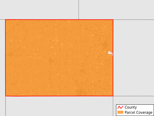
Winnebago County
Parcel Data
Price: $250.00
Last Updated:
2026-Q2
Parcels in County:
12,648
Parcel data available to download as a GDB, GeoPackage, Shapefile, Excel, CSV, or Google Earth KML file.
All purchased data comes with six months of access, including any updates, at no additional cost.
Key attribute coverage for Winnebago County
The percentage of Winnebago County parcels containing the following key attributes:
Owner: 99.6%
Parcel Number: 100%
Acreage (Calculated): 100%
Site Address: 99.3%
Mailing Address: 99.1%
All available attributes in Winnebago County
Parcel Number
Site Address
Owner
Land Use Code
Land Use Class
Acreage (deeded)
Acreage (calculated)
Perimeter
Municipality
School District
Zip Code
Flood Zone
Flood Zone Subtype
Census Tract
Census Block Group
Census Block
Mail Name
Mail Address1
Mail Address2
Mail Address3
Legal Desc1
Addr Sec Unit Num
Place Gnis Code
Land Cover
Elevation
Owner Occupied
Robust Id
Usps Residential
Plss Description
Plss Township
Plss Range
Plss Section
Crop Cover
Acreage Adjacent With Sameowner
Flood Zones
Nearest Transmission Line Dist Ft
Nearest Substation Dist Ft
Derived Geom Properties
Robust Id Source
Municipalities Respresented in Winnebago County
Buffalo Township: 1,427
Center Township: 1,992
Eden Township: 509
Forest Township: 2,741
Grant Township: 691
King Township: 1,069
Lincoln Township: 757
Linden Township: 712
Logan Township: 591
Mount Valley Township: 837
Newton Township: 668
Norway Township: 654
Save money when you buy data in bulk
We offer discounted pricing on county and state downloads.