Last Updated:
2026-Q1
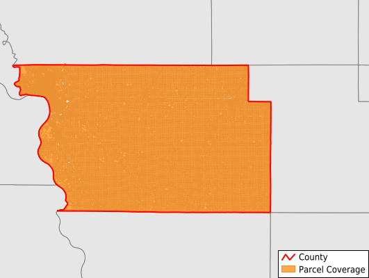
Parcels in County:
55,916
Parcel data available to download as a GDB, GeoPackage, Shapefile, Excel, CSV, or Google Earth KML file.
All purchased data comes with six months of access, including any updates, at no additional cost.
Key attribute coverage for Woodbury County
The percentage of Woodbury County parcels containing the following key attributes:
Owner: 99.4%
Parcel Number: 100%
Acreage (Calculated): 100%
Site Address: 74.7%
Mailing Address: 99.2%
All available attributes in Woodbury County
Parcel Number
Site Address
Owner
Land Use Code
Land Use Class
Zoning
Acreage (deeded)
Acreage (calculated)
Perimeter
Municipality
School District
Zip Code
Flood Zone
Flood Zone Subtype
Census Tract
Census Block Group
Census Block
Mail Name
Mail Address1
Mail Address2
Mail Address3
Legal Desc1
Addr Sec Unit Num
Place Gnis Code
Land Cover
Elevation
Owner Occupied
Robust Id
Usps Residential
Plss Description
Plss Township
Plss Range
Plss Section
Crop Cover
Acreage Adjacent With Sameowner
Flood Zones
Nearest Transmission Line Dist Ft
Nearest Substation Dist Ft
Derived Geom Properties
Robust Id Source
Municipalities Respresented in Woodbury County
Arlington Township: 1,603
Banner Township: 1,104
Concord Township: 1,035
Floyd Township: 1,002
Grange Township: 716
Grant Township: 681
Kedron Township: 1,188
Lakeport Township: 556
Liberty Township: 1,347
Liston Township: 991
Little Sioux Township: 959
Miller Township: 749
Morgan Township: 618
Moville Township: 684
Oto Township: 822
Rock Township: 1,047
Rutland Township: 968
Sioux City City: 32,333
Sloan Township: 1,217
Union Township: 1,096
West Fork Township: 749
Willow Township: 927
Wolf Creek Township: 660
Woodbury Township: 2,859
Save money when you buy data in bulk
We offer discounted pricing on county and state downloads.