Last Updated:
2026-Q1
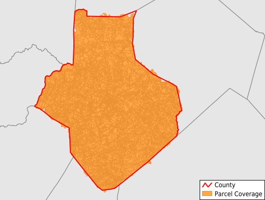
Parcels in County:
11,176
Parcel data available to download as a GDB, GeoPackage, Shapefile, Excel, CSV, or Google Earth KML file.
All purchased data comes with six months of access, including any updates, at no additional cost.
Key attribute coverage for Casey County
The percentage of Casey County parcels containing the following key attributes:
Owner: 96.2%
Parcel Number: 100%
Acreage (Calculated): 100%
Site Address: 88.9%
Mailing Address: 96.1%
All available attributes in Casey County
Parcel Number
Site Address
Owner
Transfer Date
Sale Price
Building Size
Land Use Code
Land Use Class
Acreage (calculated)
Perimeter
Municipality
School District
Zip Code
Flood Zone
Flood Zone Subtype
Census Tract
Census Block Group
Census Block
Total Market Value
Land Market Value
Building Market Value
Mail Name
Mail Address1
Mail Address3
Legal Desc1
Year Built
Total Rooms
Bedrooms
Fullbath
Addr Sec Unit Num
Land Cover
Elevation
Owner Occupied
Robust Id
Usps Residential
Alt Id 1
Crop Cover
Acreage Adjacent With Sameowner
Flood Zones
Nearest Transmission Line Dist Ft
Nearest Substation Dist Ft
Derived Geom Properties
Robust Id Source
Municipalities Respresented in Casey County
Clementsville CCD: 1,780
Dunnville CCD: 1,805
Liberty CCD: 4,117
Middleburg CCD: 2,319
Dividing Ridge CCD: 1,132
Save money when you buy data in bulk
We offer discounted pricing on county and state downloads.