Last Updated:
2026-Q1
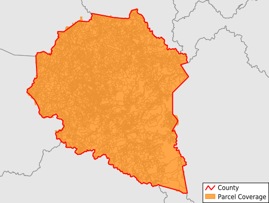
Parcels in County:
14,845
Parcel data available to download as a GDB, GeoPackage, Shapefile, Excel, CSV, or Google Earth KML file.
All purchased data comes with six months of access, including any updates, at no additional cost.
Key attribute coverage for Clay County
The percentage of Clay County parcels containing the following key attributes:
Owner: 96.5%
Parcel Number: 100%
Acreage (Calculated): 100%
Site Address: 96.4%
Mailing Address: 96.5%
All available attributes in Clay County
Parcel Number
Site Address
Owner
Land Use Code
Land Use Class
Acreage (deeded)
Acreage (calculated)
Perimeter
Municipality
School District
Zip Code
Census Tract
Census Block Group
Census Block
Mail Address1
Place Gnis Code
Land Cover
Elevation
Owner Occupied
Robust Id
Usps Residential
Alt Id 1
Crop Cover
Acreage Adjacent With Sameowner
Flood Zones
Nearest Transmission Line Dist Ft
Nearest Substation Dist Ft
Derived Geom Properties
Robust Id Source
Municipalities Respresented in Clay County
Ashers Fork CCD: 1,234
Big Creek CCD: 2,485
Burning Springs CCD: 4,424
Manchester CCD: 2,795
Oneida CCD: 1,922
Sibert-Hima CCD: 1,981
Save money when you buy data in bulk
We offer discounted pricing on county and state downloads.