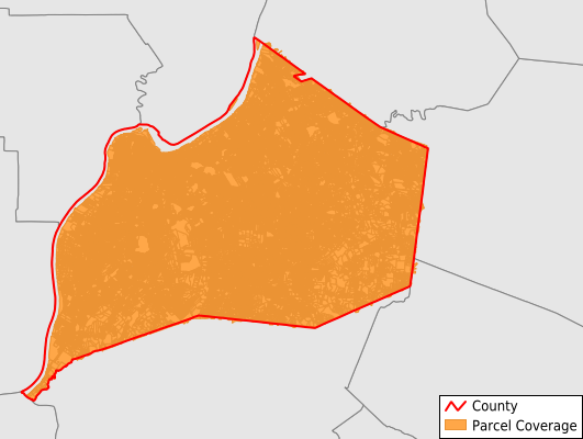
Jefferson County
Parcel Data
Last Updated:
2026-Q1
Parcels in County:
291,582
Parcel data available to download as a GDB, GeoPackage, Shapefile, Excel, CSV, or Google Earth KML file.
All purchased data comes with six months of access, including any updates, at no additional cost.
Key attribute coverage for Jefferson County
The percentage of Jefferson County parcels containing the following key attributes:
Owner: 95.4%
Parcel Number: 100%
Acreage (Calculated): 100%
Site Address: 94.8%
Mailing Address: 95.4%
All available attributes in Jefferson County
Parcel Number
Site Address
Owner
Transfer Date
Sale Price
Building Size
Land Use Code
Land Use Class
Zoning
Acreage (calculated)
Perimeter
Municipality
School District
Zip Code
Flood Zone
Flood Zone Subtype
Census Tract
Census Block Group
Census Block
Total Market Value
Land Market Value
Building Market Value
Mail Name
Mail Address1
Mail Address3
Legal Desc1
Year Built
Total Rooms
Bedrooms
Total Bath
Buildings
Addr Sec Unit Num
Place Gnis Code
Land Cover
Elevation
Owner Occupied
Robust Id
Usps Residential
Alt Id 1
Plss Description
Plss Township
Plss Range
Plss Section
Crop Cover
Acreage Adjacent With Sameowner
Flood Zones
Nearest Transmission Line Dist Ft
Nearest Substation Dist Ft
Derived Geom Properties
Robust Id Source
Municipalities Respresented in Jefferson County
Louisville Central CCD: 9,884
Louisville East CCD: 35,527
Louisville South CCD: 28,523
Louisville West CCD: 27,675
Central Jefferson CCD: 30,978
East Jefferson CCD: 27,929
Floyds Fork CCD: 7,597
Louisville Airport CCD: 2,286
North Dixie CCD: 20,095
Northeast Jefferson CCD: 19,823
Pond Creek CCD: 15,655
South Dixie CCD: 9,676
Southeast Jefferson CCD: 41,539
South Jefferson CCD: 14,277
Save money when you buy data in bulk
We offer discounted pricing on county and state downloads.