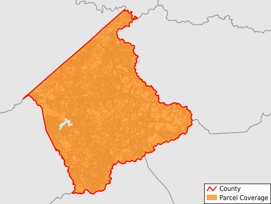
Buchanan County
Parcel Data
Price: $200.00
Last Updated:
2025-Q3
Parcels in County:
20,383
Parcel data available to download as a GDB, GeoPackage, Shapefile, Excel, CSV, or Google Earth KML file.
All purchased data comes with six months of access, including any updates, at no additional cost.
Key attribute coverage for Buchanan County
The percentage of Buchanan County parcels containing the following key attributes:
Owner: 93.5%
Parcel Number: 98.6%
Acreage (Calculated): 100%
Site Address: 58.1%
Mailing Address: 93.5%
All available attributes in Buchanan County
Parcel Number
Site Address
Owner
Acreage (deeded)
Acreage (calculated)
Perimeter
Municipality
School District
Zip Code
Flood Zone
Flood Zone Subtype
Census Tract
Census Block Group
Census Block
Total Market Value
Land Market Value
Mail Address1
Mail Address2
Mail Address3
Legal Desc1
Legal Desc2
Legal Desc3
Addr Sec Unit Num
Place Gnis Code
Land Cover
Elevation
Owner Occupied
Robust Id
Usps Residential
Alt Id 1
Alt Id 2
Crop Cover
Acreage Adjacent With Sameowner
Flood Zones
Nearest Transmission Line Dist Ft
Nearest Substation Dist Ft
Derived Geom Properties
Municipalities Respresented in Buchanan County
Garden District: 3,308
Hurricane District: 2,788
Knox District: 2,910
North Grundy District: 3,026
Prater District: 2,928
Rock Lick District: 2,727
South Grundy District: 2,684
Save money when you buy data in bulk
We offer discounted pricing on county and state downloads.