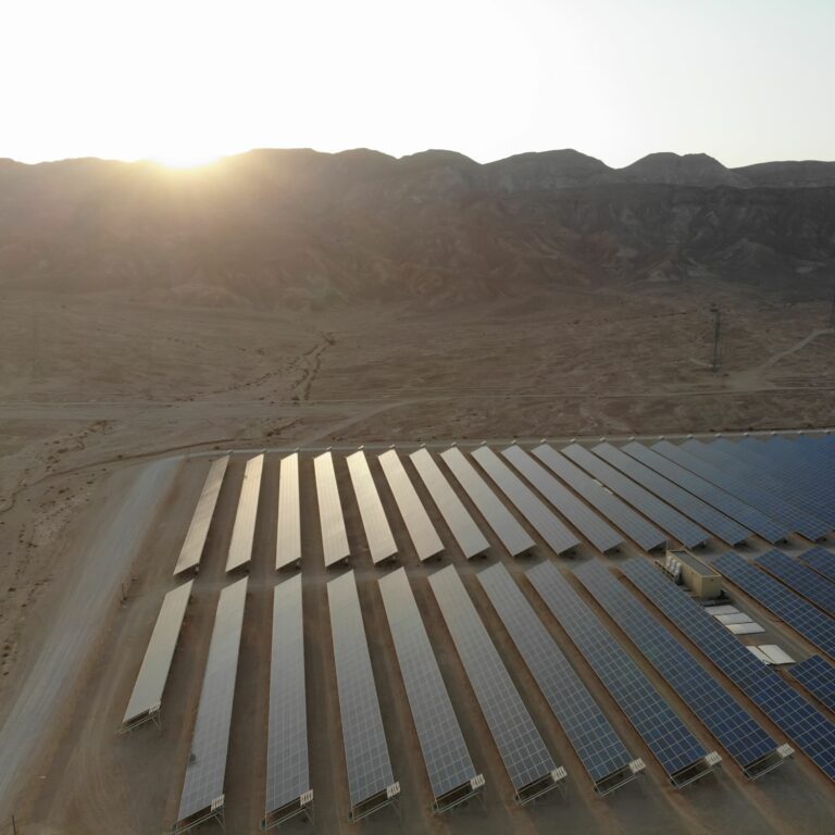
How GIS Parcel Viewers Assist Wind and Solar Energy Farm Development
Whether you’re traveling through the plains of the Midwest or the wide expanse of land in Texas, you’re likely to…
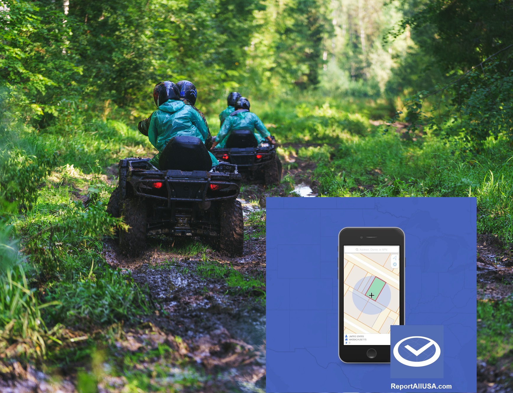
The smart choice for parcel data.
The smart choice for parcel data.
Whether you’re traveling through the plains of the Midwest or the wide expanse of land in Texas, you’re likely to…
In our last update, LandGlide® – Our Leading GPS Parcel Data App Has A New Look, we covered the new…

Empower Your Industry With Our Updated Parcel Data App At ReportAll, we understand the desire to interact with technology that…
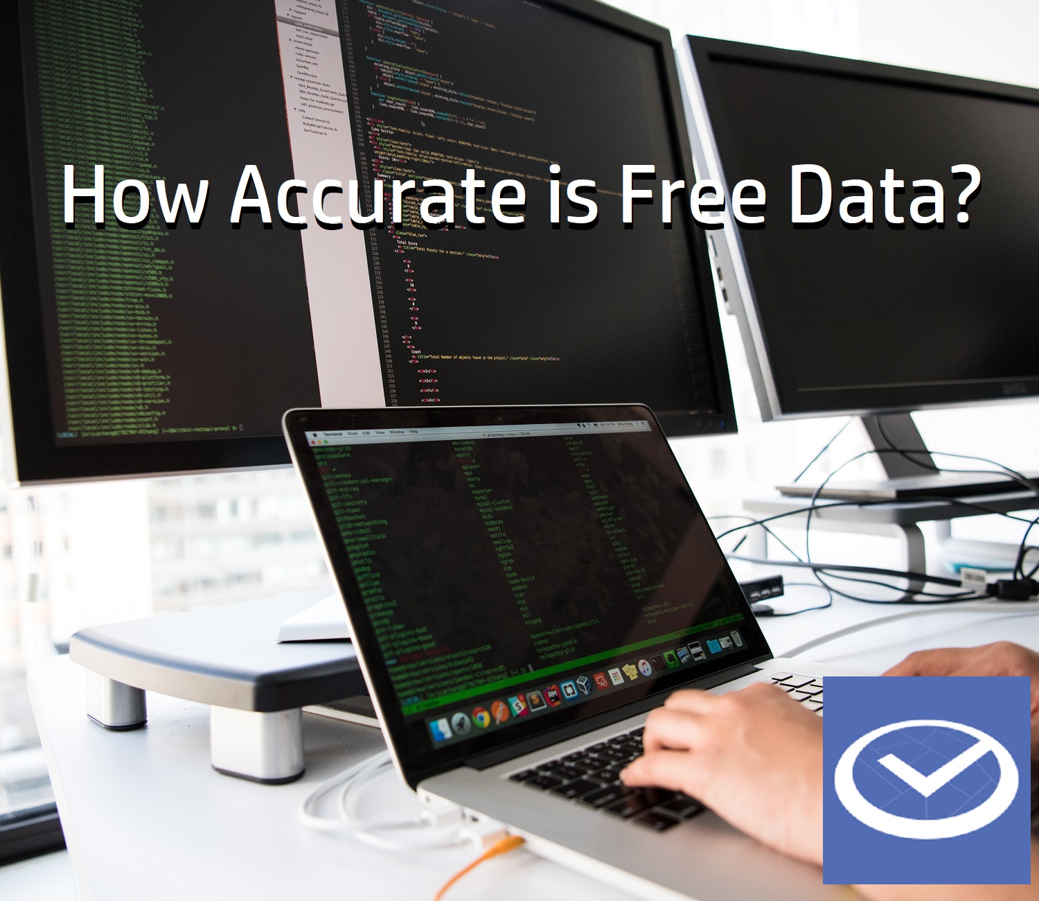
Free isn’t free when comparing property data sets from multiple counties or parishes “Data wants to be free” was an early…

New DroneGlide™ Fence software is the answer to keeping your drone safely within your own property lines. The stories are out there…
Recent natural disasters, hurricanes and wildfires for example, have created wide areas of devastation and an abundance of insurance claims. In…

Using our advanced Geofencing technology, your drone will safely stay within your own property boundaries! Have you ever worried about…

In a recent blog post, “GIS Tools and Applications to Give Land Brokers a Competitive Advantage,” we discussed the unique…
If you have ever priced, purchased or owned a large parcel of land such as a ranch, farm, timber track…

How do you find the commercial property everyone is seeking? Acquiring prime commercial real estate where none is available. Location,…