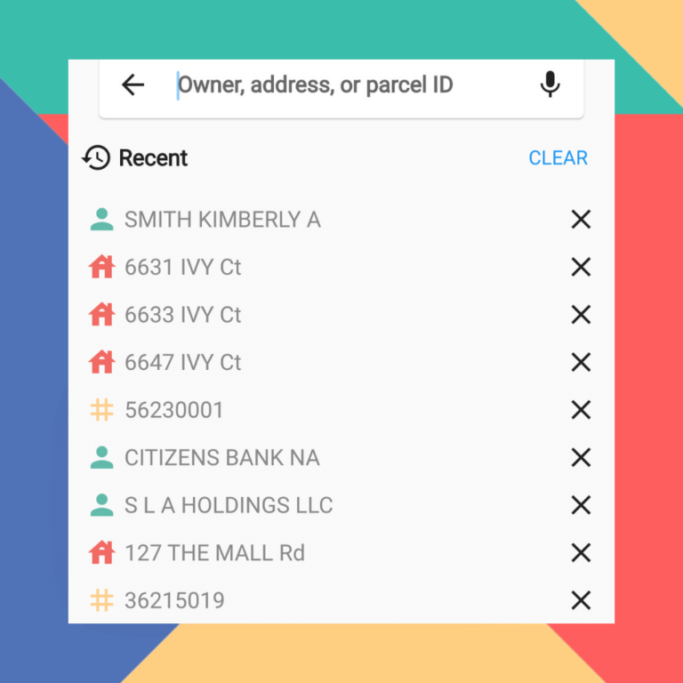
Finding Property On LandGlide Is Easier Than Ever
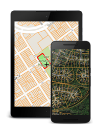
LandGlide, the most advanced and comprehensive parcel data and property line map application that gives you access on all your…
The smart choice for parcel data.
The smart choice for parcel data.
LandGlide, the most advanced and comprehensive parcel data and property line map application that gives you access on all your…

A look at unique ways our team uses LandGlide and how professionals use it in various industries. How Does The…
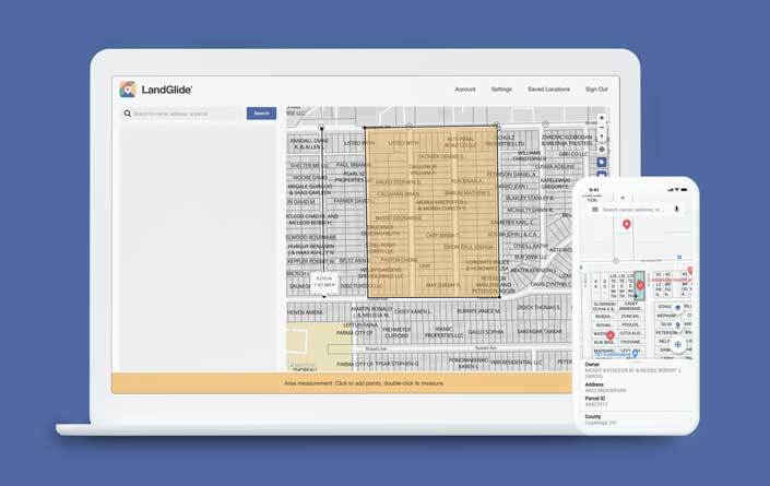
You Asked, We Listened – LandGlide® for the Web is Here! We’re excited to announce that the LandGlide® app you…

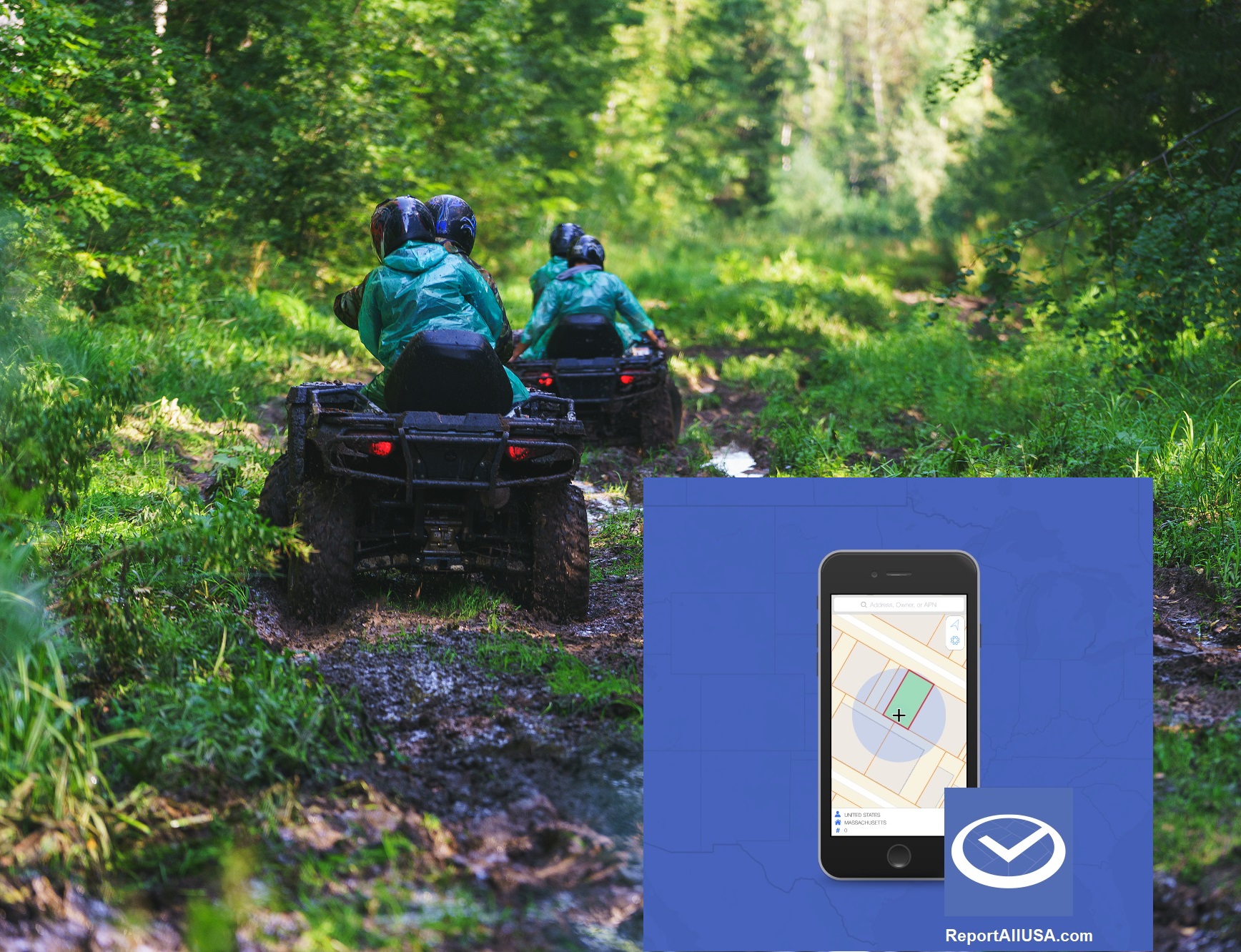
New DroneGlide™ Fence software is the answer to keeping your drone safely within your own property lines. The stories are out there…
Recent natural disasters, hurricanes and wildfires for example, have created wide areas of devastation and an abundance of insurance claims. In…
If you have ever priced, purchased or owned a large parcel of land such as a ranch, farm, timber track…

How do you find the commercial property everyone is seeking? Acquiring prime commercial real estate where none is available. Location,…
When Hurricane Katrina hit in 2005 it was devastating. The damage was widespread, and in many cases the storm had…
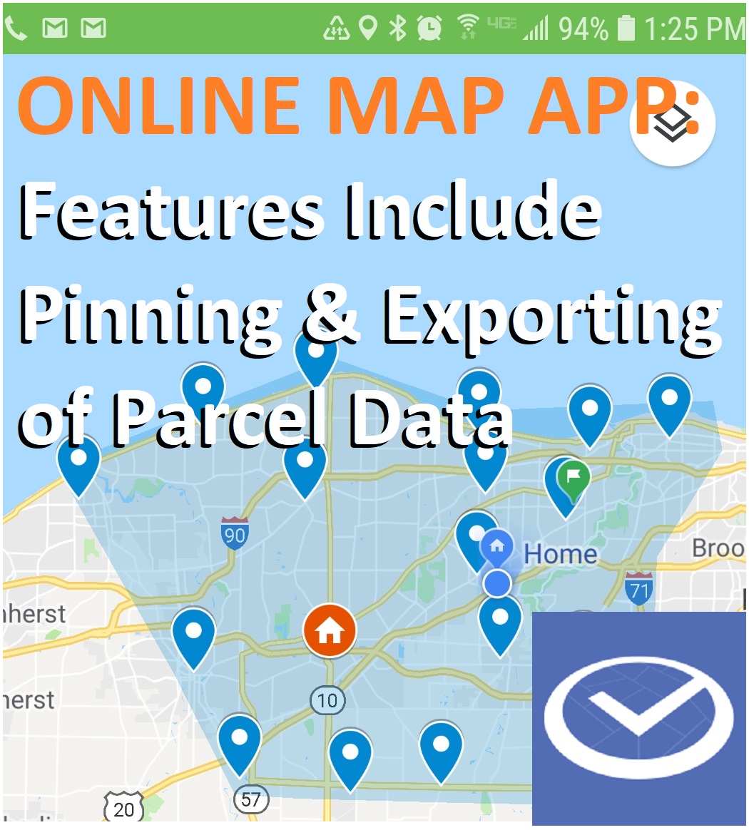
New LandGlide feature just announced. New LandGlide feature just announced. Pin multiple location data sets and share with others –…
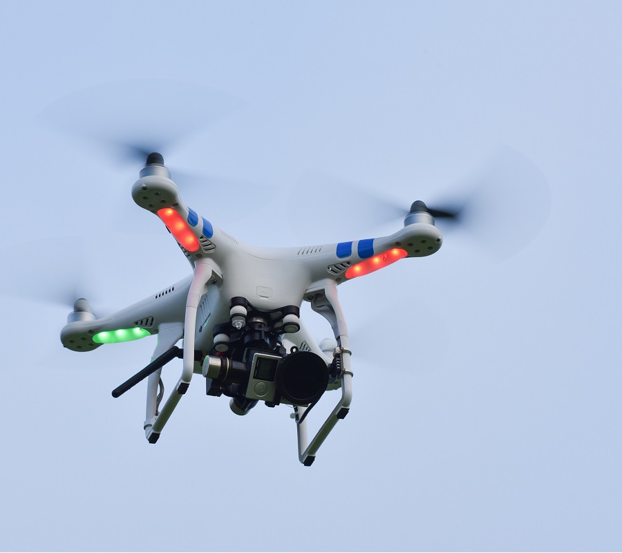
So what is geofencing and how does it relate to drones? The term “geofencing” is evolving as does the technology.…